
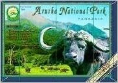
Map Of Arusha National Park
Save 30%
Original price
R 95.00
Original price
R 95.00
-
Original price
R 95.00
Original price
R 95.00
Current price
R 66.50
R 66.50
-
R 66.50
Current price
R 66.50
The tourist map of Arusha National Park by Veronica Roodt uses satellite imagery as its base map, and covers the entirety of Arusha National Park; including Mount Meru, Ngurdoto crater, and Momela Lakes. Roads coverage has been tracked and measured by Veronica Roodt personally with the assistance of GPS.
GPS coordinates are provided for all of the camps, lodges and important tourist attractions, important road crossings, bridges etc. Photographic animal, bird and plant checklists on the back of the map. All photographs were taken by Veronica whilst doing the field word for this map.
Information on geology, climate, how to get there, what to take, where to stay, road conditions, etc., is also included. Also included on the Arusha National Park is information on climbing the mountain as well as a topographic map indicating climbing routes.